309 SAFFORD ST
Owner Information
CHAN MEI LI
309 SAFFORD ST
QUINCY, MA 02170


Property Details
309 SAFFORD ST is classified as a Single Family Residential (Colonial).
The primary structure on this property was built in 1910. There are 2,889ft2 of built area within this property. There is 1,368ft2 of residential/living space within this property. This property is listed as having 7 rooms.
309 SAFFORD ST is valued at $486,500. The land is valued at $252,600 and the structures are valued at $220,900. There is an additional valuation of $13,000 on this property.
This property is in Zone RES B. Confirm with local Zoning Board authorities to ensure there are no overlays or other easements on this property.
The most recent deed for 309 SAFFORD ST is recorded at the local registrar in Book 18273, Page 0382. 309 SAFFORD ST was last sold on Friday, February 21, 2003 for $339,900.
Assessment data from fiscal year 2020.
Flood Data
According to the FEMA National Flood Hazard Layer, this property does not appear to be in a flood zone. It may also be in an area not yet reviewed. Nonetheless, confirm this information prior to taking any action.
To view the flood hazards around this property, create a FEMA "Firmette" Map of the area around 309 SAFFORD ST.
Broadband Internet Providers
| Provider | Type | Bandwidth (mbps) | |
|---|---|---|---|
| Viasat Inc | Satellite | 100 | 3 |
| Verizon New England Inc. | DSL | 7 | 0 |
| HughesNet | Satellite | 25 | 3 |
| GCI Communication Corp. | Satellite | 0 | 0 |
| T-Mobile | Fixed Wireless | 25 | 3 |
| Comcast | Cable | 1000 | 35 |
| VSAT Systems, LLC. | Satellite | 2 | 1 |
Broadband service provider data from December 2020.
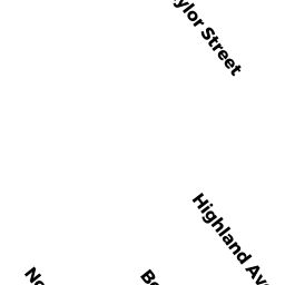
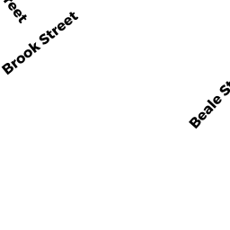
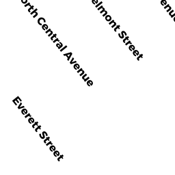
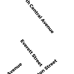
Adjacent Properties
- 194 TAYLOR ST
Single Family Residential owned by CHEN XIAO JIAN - 198 TAYLOR ST
Single Family Residential owned by CAPONE LILLIAN P TREE - 202 TAYLOR ST
Single Family Residential owned by LIN JUAN PING - 311 SAFFORD ST
Single Family Residential owned by ZHENG LIAN QIANG - 305 SAFFORD ST
Single Family Residential owned by LI XIU RONG